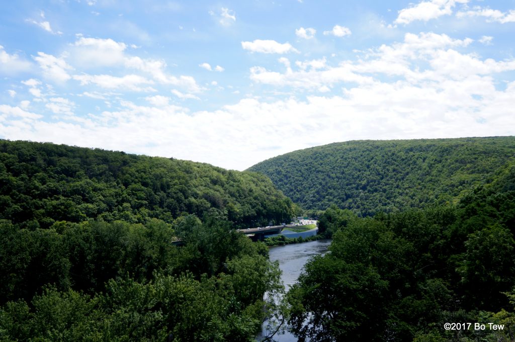
Shenandoah is technically the closest National Park from Delaware, but there are many other units in the national park system, including this weird National Recreational Area. Delaware Water Gap, only 2 hours north of Delaware, has such designation. The park hugs the Delaware river, so it is long but very narrow, similar to Shenandoah NP. Because it doesn’t have the National Park designation, there are plenty of houses and businesses that operate in the park. Route 209 runs through Delaware Water Gap on the Pennsylvania side, while bridges allow road crossing into the New Jersey portion west of the river. There are 2 trails that runs parallel to 209 – Appalachian Trail in the NJ portion and a bike trail on the PA side. The first point of entrance on the South side is the Kittatinny Point Visitor Center (no address, and it is literally one of the exit on I-80), and that is pretty close to the Delaware Water Gap, a gap between the Kittatinny Mountains split half by the Delaware River.
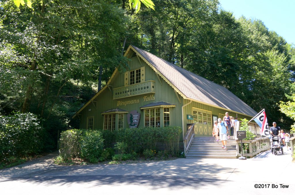
Even Though I’m at the southern tip of the park, the not that friendly ranger told me to go North, to the Dingmans Falls Visitor Center for the waterfall there. It is about a 45mins drive, not including traffic and lights. There are plenty of amenities and convinences on route 209, which means you can grab your favorite snacks and even lunch at the CVS> Or Rite-Aid. You name it. Dingmans Falls has a small parking lot and rangers are stationed at all visitor centers to make sure parking is not overflow. (Visitors Centers are very basic, by the way, compare to any National Park or Monuments. Don’t expect much in terms of offerings and atmosphere.)
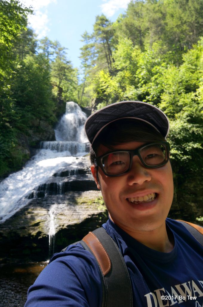
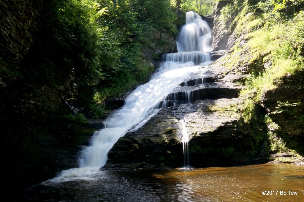
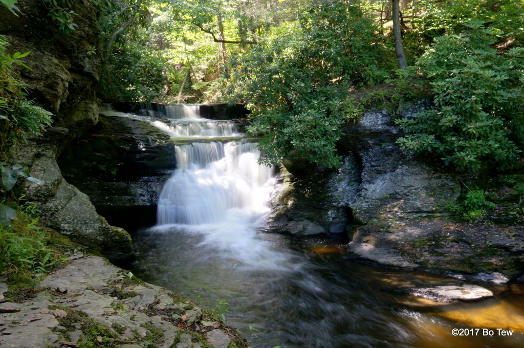
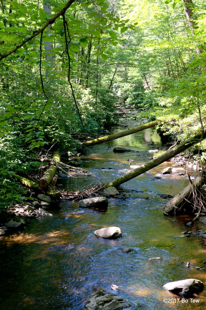
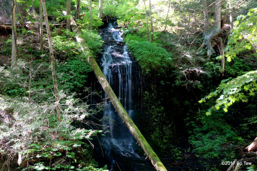
The good part about the limited parking spaces is that there aren’t many people on the trail itself, considering this is only 0.5miles long. There are many families here probably because it is famous, a rather undemanding walk, and located right next to a huge visitor center. I first past the Silverthread Falls, which is like the name suggest, very tall but thin, very interesting. The Dingmans Fall, on the other hand, is really wide and large flow rate. We stand across from the waterfalls on the Dingmans creek, so there is nobody naked playing in the waterfall. Most of the water slides down along the face of the fall, so there isn’t much splash-back. I climbed to the top of the falls, and there is a small rapid just before the huge plunge. It could be fun to jump down the falls, but I think most people will not make it once they land. It is pretty tall. Very unique falls, in my opinion. I have rarely see wide waterfalls like this.
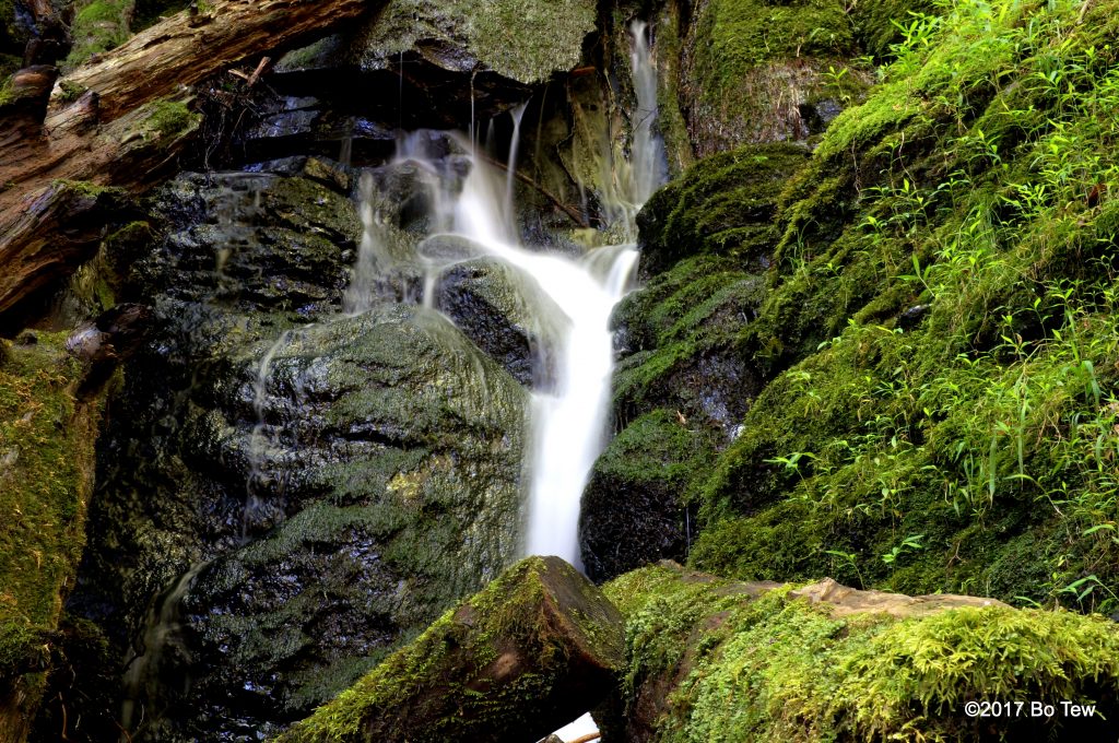
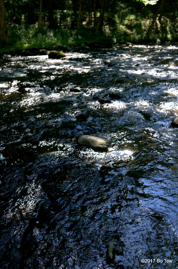
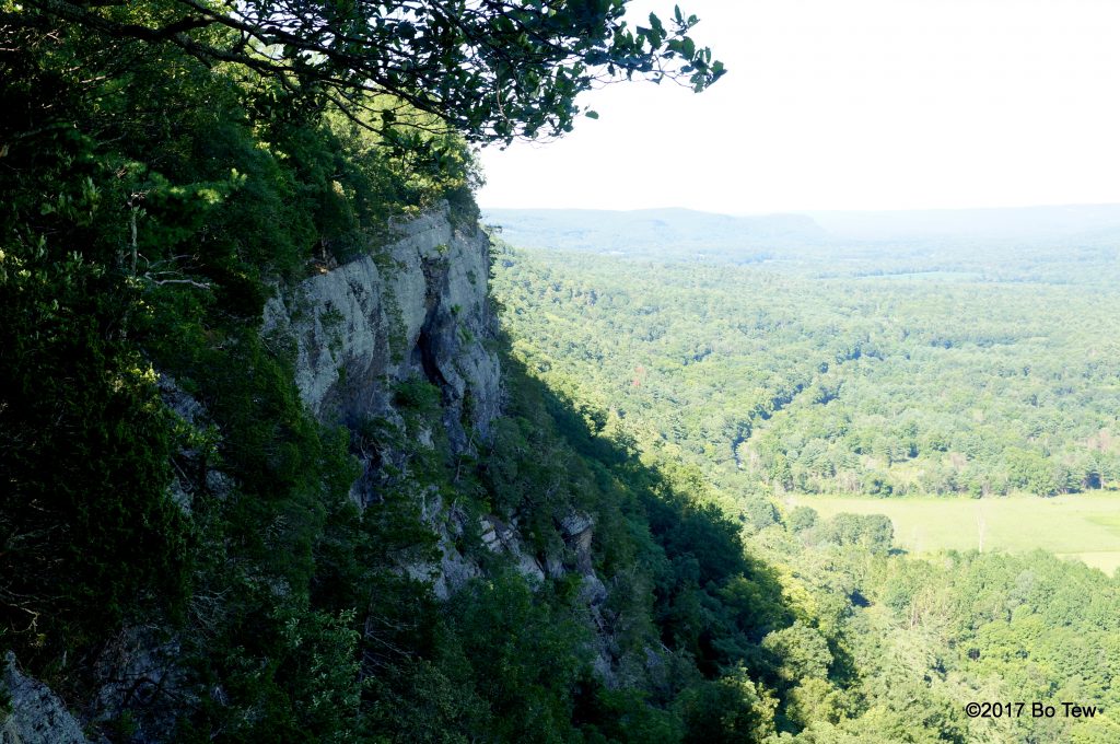
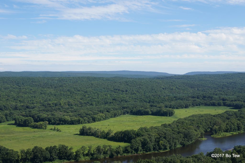
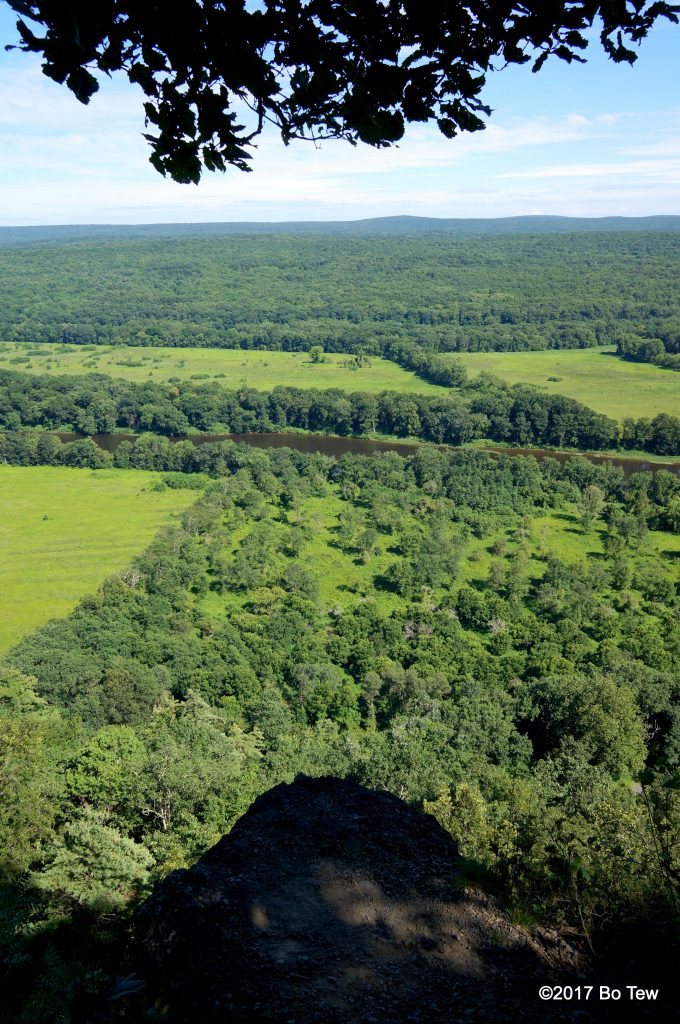
The next stop is the Raymondskills Falls, located at the very northern end of the park. They block off the falls so I do not have the opportunity to see it; instead, I walk to the creek and watch the stream calmly pass by me. Unlike most July days, today is pleasant (part of the reason I’m here because it is schedule to rain all day in Delaware). I quickly hike back up (really steep incline) to the Cliff Trail, located across the Raymondskills Falls. An older gentleman named Tim, who used to work at Boeing but now retired, tag along while we hike to the Tri-State Overlook. The view here is spectacular. We are probably the only mountain range (or the last mountain range) until those in the State of New York, and that’s why it is call Tri-state Overlook. I can see PA right beneath me, NJ across the Delaware River, and NY in the far distance. A little hike more and we arrive at the Minisink Overlook. The only thing difference here is that we can see the steep cliff we are standing on. Tim made us take the long way back even though there is nothing else to see in the woods. Definetely grab a map from the Visitor Center because the trails are very poorly mark. I guess there is a lack of funding. I’m of the kind who think we should just upgrade all land to national park status and protect it from the rest of mankind for eternity, but who am I to say?
